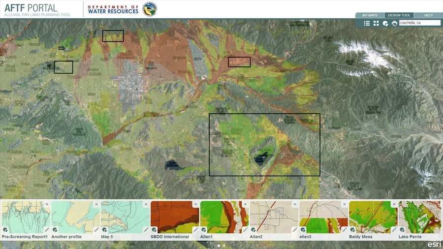
Alluvial fan designer
Early planning tool that helps lessen environmental impact.
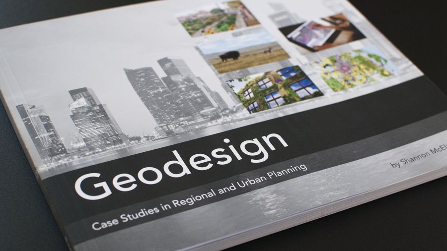
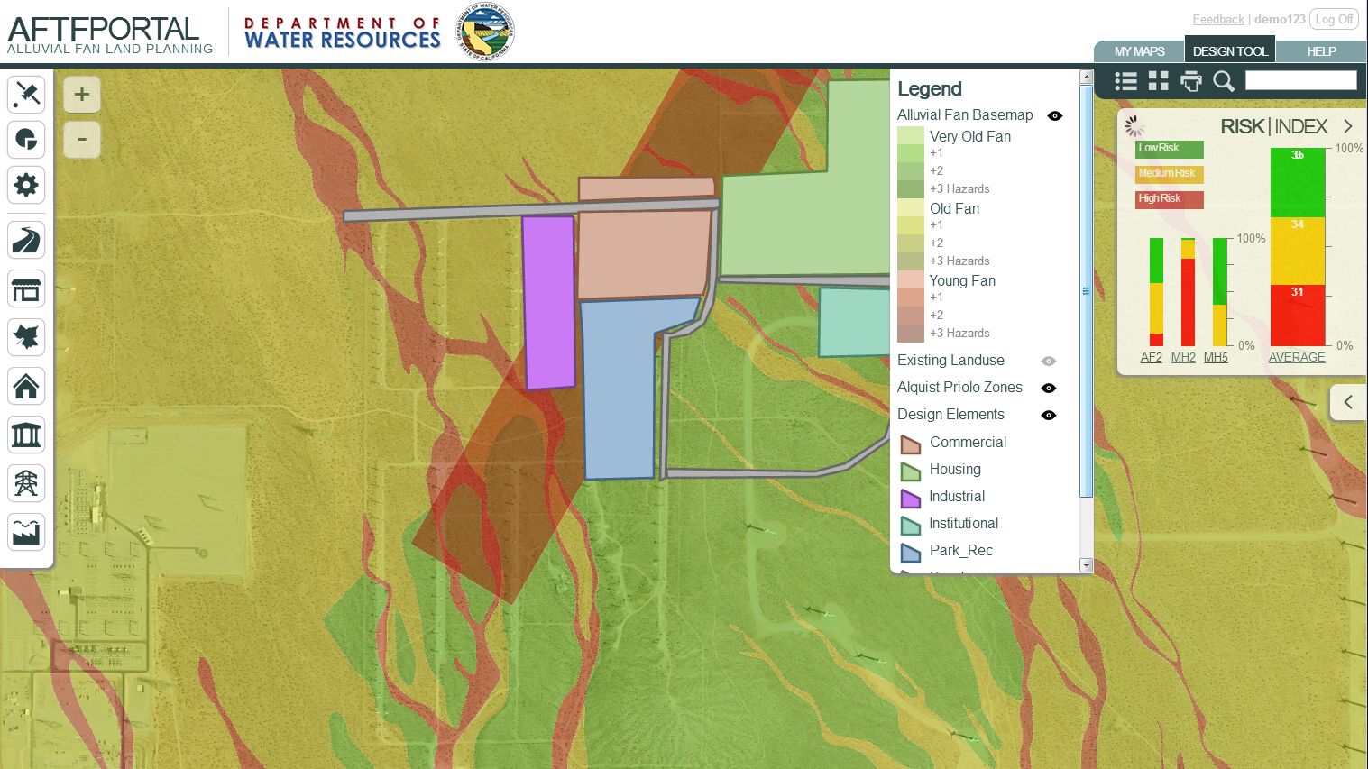
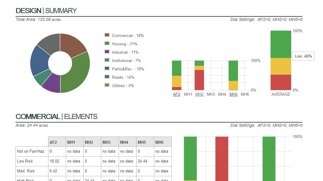
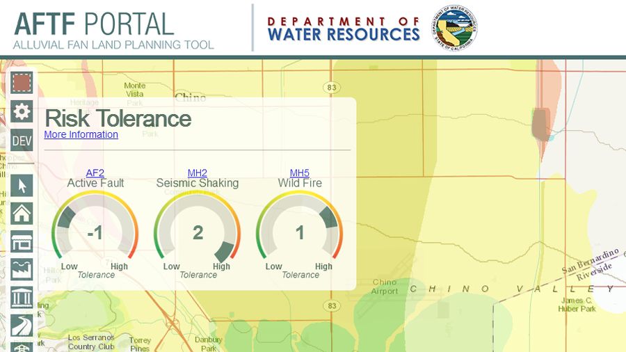
As described in “GeoDesign: Case Studies in Regional and Urban Planning“, this application creates a top level profile of any area in California. From that profile one could then diagram their proposed land-use and receive realtime hazard analysis. Most innovative is the user’s ability to easily take on more or less risk in any particular hazard and lack of specificity of goals and geography — one tool many goals in many places. Here in the design phase developers are able to make quick decisions to reduce environmental impact.
- Features
- Map interface with drawing tools
- Heads-up risk calculator
- Design reports
- Client
- Water Resources Institute
- Funders
- California Department of Water Resources
- FEMA
- Software
- ArcGIS Server
- ArcSDE
- .Net MVC
- KnockoutJS
- LeafletJS
