Aerial image archive
Historic aerial imagery archival and order fulfillment.
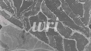
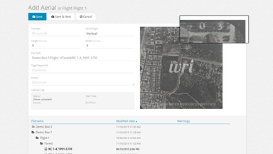
After an initial needs assessment and data discovery, GeoSyntax proposed institutional workflow modifications, schema definitions, automation processes, and a web application. The resulting Archive Record Keeper (ARK) web application facilitates the archival and distribution process of aerial imagery and other documents. A special component to this project was the integration to the XSEDE super-computing network, this project is the first XSEDE – CSU collaboration. Currently aerial imagery is staged on XSEDE servers for future batch analysis and edge matching algorithms.
- Features
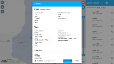
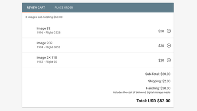
- Shopping cart
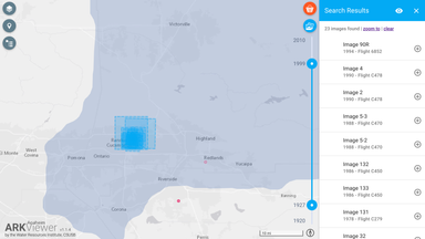
- Time series search
- Preview with loupe and metadata
- Automated order fulfillment
- Client
- Water Resources Institute
- Funders
- Various Flood Control Districts
- Software
- ArcGIS Server
- GoLang
- GridFTP
- Firebase
- AngularJS